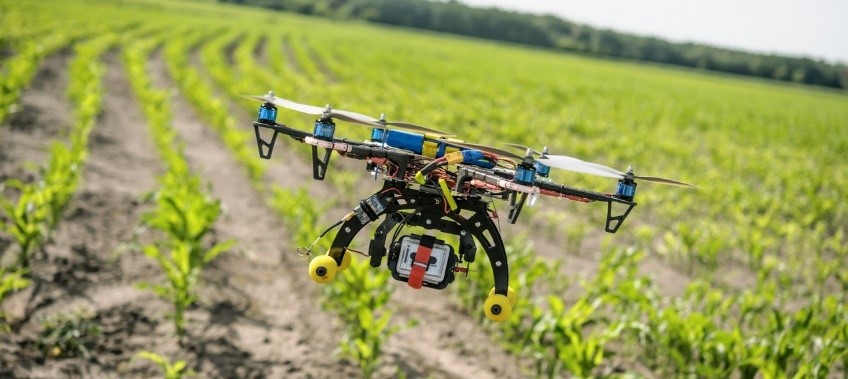
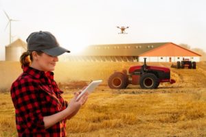
 Drones and remote aerial sensing are primarily used in the agriculture industry as part of a system to optimize operations. This optimization has become known as “precision agriculture”. Agricultural drones allow farmers to obtain a wealth of data they can use to make better management decisions, improve crop yields, and increase overall profitability. This data can then be used to get a more accurate map of any existing issues, as well as create solutions based upon extremely reliable data.
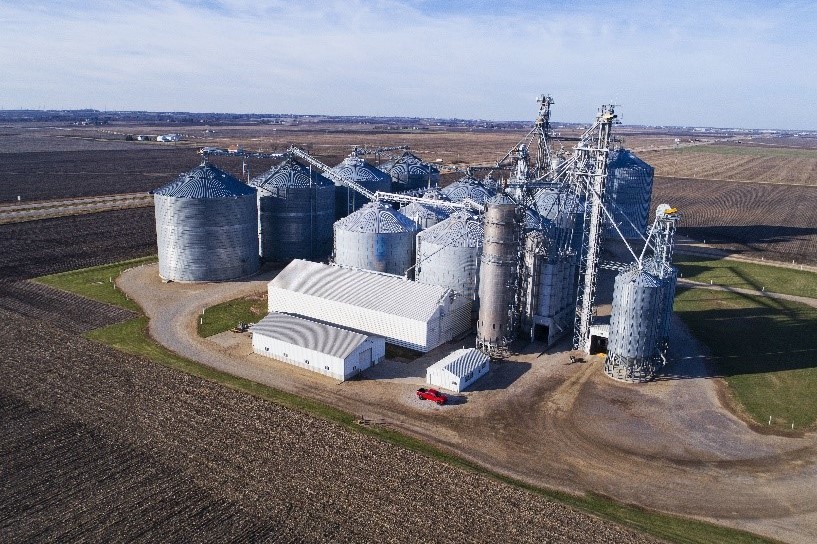
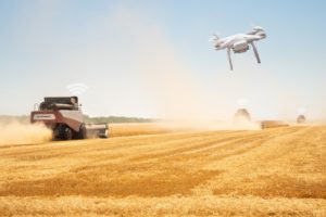
High-tech drones let farmers increase efficiency in certain aspects of the farming process. From crop monitoring to planting, livestock management, crop spraying, irrigation mapping, and more.
 More sophisticated sensors and cameras
Icaros has significant experience in using thermal sensors and very high-resolution multispectral sensors for farming applications. In Israel, we worked with the Volcani Institute to pioneer the use of thermal sensors for crop health monitoring. In the USA, we have been working with the Rochester Institute of Technology to pioneer different multispectral mapping techniques for farming. Using the latest thermal and multispectral imaging technologies, and with collaboration of leading scientists, we collect and process data to produce solutions. The data Icaros provides to our customers has enabled them, for example, to see water stress patterns in arid and semi-arid areas, improve scheduled irrigation intervals, remediate a wide variety of crop health problems, evaluate land purchases, and map agricultural soil water-holding capacity in not-yet-irrigated lands.
 Turning data into actionable information.
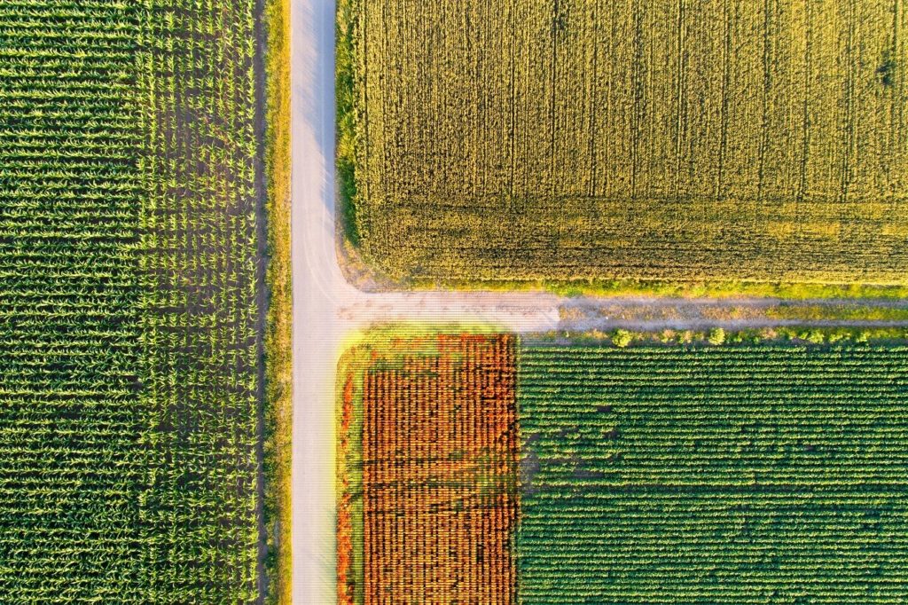
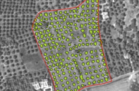
Vast fields and low efficiency in crop monitoring together create farming’s largest obstacle. Time-series animations can show the precise development of a crop and reveal production inefficiencies, enabling better crop management. Remote video and imagery in RGB, NIR, thermal and multispectral help customers identify, classify and measure crops, and the land they oversee, and helps them maintain it in more efficient ways. Icaros can be instrumental throughout the entire growing season from the start of a crop cycle to harvest. Precise 2D and 3D maps, thermal, IR, NDVI and other derivative/index maps, DTMs and DSMs, and contour maps can provide both baseline and time series information that can be used for everything from early soil analysis, planning seed planting patterns, nitrogen-level management, biomass volumetrics. and irrigation management. Once a crop is growing, drones allow the calculation of the vegetation index, which describes the relative density and health of the crop and shows the heat signature – the amount of energy or heat the crop emits. It’s essential to assess crop health and spot bacterial or fungal infections on plants early. By scanning a crop using both visible and near-infrared light, drone-carried devices can identify which plants reflect different amounts of green light and NIR light. This information can produce multispectral images and maps that track changes in plants and indicate their health. A speedy response to issues found can save an entire crop; as soon as a sickness is discovered, farmers can apply and monitor remedies more precisely.
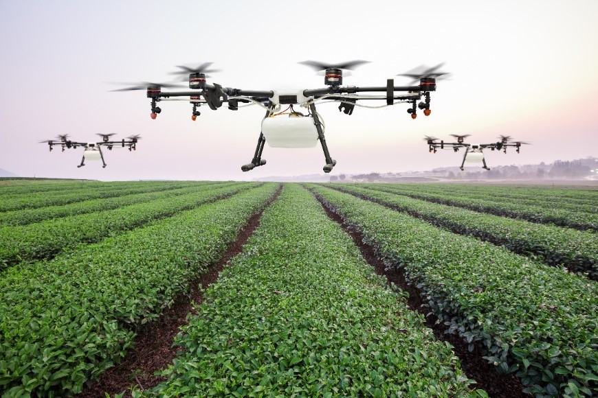
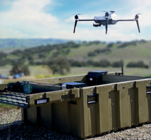 Better, more cost-effective drones. The industry is constantly looking for better drones that require minimal training and are highly automated. We are pioneering the use of complete, autonomous drone-in-a-box systems that are best-of-breed, US manufactured, reasonably priced, and can be deployed without pilots and for beyond visual line of sight (BVLOS) operation. Our drone-in-a-box solutions are turnkey and ideal for both autonomous and tethered deployments. Drone missions can be launched on preplanned schedules or triggered by ground base sensors. These systems can be deployed with a wide variety of cameras/sensors and configured with detect and avoid technology to perform BVLOS applications (see drone-in-a-box solutions on this site). Heavy lift and extended range drones are options in these drone-in-a-box systems.
Farm analytics and task management software. We can configure MapGage software (our cloud-base SaaS offering) for customized farm analytics and reports that meet our clients’ needs. MapGage facilitates and aggregates different types of remotely sensed, imagery and data and offers various time series change detection and anomaly detection algorithms to obtain real-time insights. A task and issue tracking feature can improve assignment, monitoring and management of ground truth, remedial and preventative tasks. An included hand-held device App lets you input on the spot observations, and images, and update task status information (see “MapGage SaaS” on this site for more information);
 Let us collect your data for you. For clients who don’t have drones, remote sensing experience, or image processing experience and don’t want to bring these functions in house, we can provide certified pilots, drones, and sensors to collect RGB, thermal, IR, multispectral, video, LIDAR, ground penetrating radar (GPR) and a wide multitude of other data types. Our processing center can also process your data into high quality geospatially accurate orthomosaic maps or 3D models. These maps and models can be used/viewed in your MapGage implementation, or in your existing GIS, or farming applications.